Post by Nic Quattromani:
You know it’s a breathtaking time to be alive when you can Google “space news” and count on dozens of fascinating results instantly flowing into your browser. One such news story, which escaped my attention because Earth science escapes everybody’s attention, is the recent launch of NASA’s Ice, Cloud, and land Elevation Satellite-2 (ICESat-2, for short; to NASA’s credit, the name goes out of its way to be quirky and creative, which can’t be said for the Space Launch System). Its mission is no less ambitious than to measure Earth’s surface elevation more precisely than ever before. Not only can the satellite track hills, valleys, and other landforms, which aren’t particularly dynamic, it will also measure things like sea ice thickness, or even the heights of trees, using the power of multiple lasers in close proximity.

The numbers alone are impressive. ICESat-2’s sole instrument, a 532-nanometer green laser called ATLAS, will pulse more than ten thousand times per second to create six distinct beams, each comprising maybe fifty trillion photons. Timing the return of a handful of photons out of those trillions allows ICESat-2 to determine its exact height above the surface, to a precision of 0.4 millimeters. Between measurements the craft covers just 71 centimeters of terrain. If you were to lay flat along this satellite’s ground track while it passed over, you would appear more than once in its data stream, though pulling that off would require either ridiculous luck or ridiculous patience.

Polar ice is the primary focus of the mission, as it’s of vital importance just how many cubic meters of Antarctic ice we’re losing each year. But forests and cloud cover play a role, too, as other parts of Earth’s vast and complex climate system, which we must fully understand and map before we can control it. Repeated, precise, scientific measurements like those of the ATLAS instrument will allow us to know what we’re doing to the planet, rather than simply guess. A decade out ICESat-2 will inform our debates on environmental policy and emissions reductions. A few decades further, its data, and the interpretation thereof, may give us the understanding we need to take the climate into our own hands, with ambitious projects such as engineering the atmosphere or paving the Sahara with solar panels. The data from a few laser beams might have big ramifications, now that this satellite is launched and operational.

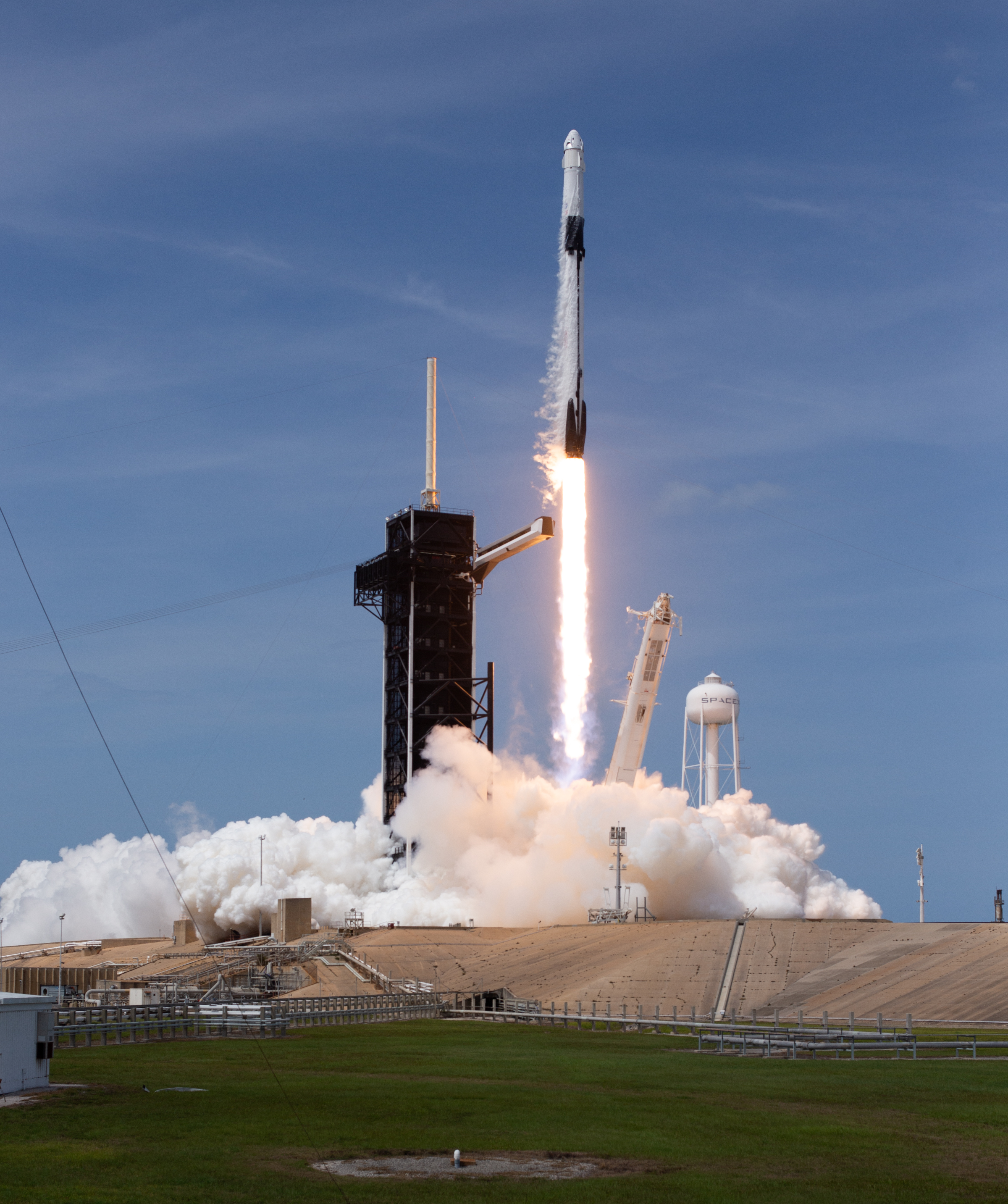
On September 15 ICESat-2 rode into space from Vandenberg atop a Delta rocket. Its mission is slated for three years, but carries stationkeeping fuel for seven. It represents a more prosaic form of science, certainly less flashy than the wildly audacious probes NASA delivers and the manned craft it continues to promise, but nevertheless I feel that its contribution should not be underestimated. By the end of its time up there we’ll have a detailed, dynamic heightmap of the entire planet over a span of years, and that sort of knowledge is valuable not just for its contribution to the technical challenge of climate change, but also for its own sake. Science is a good and glorious thing.
Sources:
https://www.space.com/41820-icesat-2.html
https://icesat-2.gsfc.nasa.gov/mission
Discover more from Let's Get Off This Rock Already!
Subscribe to get the latest posts sent to your email.


Leave a Reply